Workshops sub-committee
Find out more about the content of each workshop by clicking on the workshop title, or browsing to our supporting projects page. To find out more about the training courses (which are separate from the project workshops) see the Training page.

Chair - Doug Mason
Doug is an engineering geologist with WSP in Wellington, with over 20 years’ experience. His particular interests are the assessment and mitigation of natural hazards and risks, including landslide hazard mapping, assessment of infrastructure resilience, and providing advice for land use planning. Doug has a Master’s degree in geology and is currently studying for a PhD in engineering geology, investigating the performance of earthworks slopes in the 2016 Kaikōura earthquake. He is currently involved with the NZ Geotechnical Society’s Slope Stability Guidance project and is a committee member of the NZ Society for Earthquake Engineering’s ‘Learning From Earthquakes’ programme.

Emma Hudson-Doyle
Associate Professor Emma Hudson-Doyle works at the interface between physical and social science with a focus on communicating the science of natural hazards. She is based at the Joint Centre for Disaster Research, Massey University, and is also seconded part time as Principal Advisor Resilience & Research at the Natural Hazards Commission Tokā Tu Ake. Current research focuses on scientific uncertainty, and the communication and understanding of complex multi-component models used to advise decision makers through co-leading the Endeavour Program Hōretireti Whenua Sliding Lands. She provides expert communication advice to several national agencies during events, sits on the Aotearoa Earthquake Science Advisory Panel, is Editor-in-Chief of the Journal of Applied Volcanology, and member of the World Meteorological Office’s World Weather Research Program’s SAGE Steering Group (Sub-seasonal to seasonal Applications for aGriculture and Environment).

Saskia de Vilder
Dr Saskia de Vilder is an Engineering Geologist at GNS Science. Saskia research interests span from understanding rock slope failure mechanisms, through to landslide runout analysis, to hazard and risk modelling and the interface between science and policy. Saskia is the co-programme lead for Hōretireti Whenua Sliding Lands research programme, which aims to provide accessible and nationally consistent landslide hazard and risk information for Aotearoa. She led the development of a national natural hazard risk analysis framework for the Department of Conservation, enabling consistent assessment of life-safety risks across public conservation lands. Saskia is also a lead author of the Landslide Planning Guidance—a national resource for integrating landslide hazard and risk information into land-use planning.
Saskia co-leads the Sliding Lands endevour research programme alongside Emma Hudson-Doyle and Chris Massey.
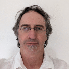
Anthony Miner
Tony Miner has over 40 years' experience in a diverse range of projects in the geotechnical engineering, environmental engineering, engineering geology, coastal risk assessment, coastal geomorphology, erosion management and natural resource planning. He has focused on risk management techniques and landslide studies over the past 30 years and has been a member of the various Australian Geomechanics Society's taskforces on landslide risk management and education programs. He co-presented the AGS's nationwide seminar presentations in 2011 for the "AGS's Landslide Risk Management Guidelines (2007)" and now serves as the co-chair of the steering committee currently undertaking a revision of the AGS guidelines in conjunction with NZGS. He maintains a strong involvement in landslide research and has been a regular contributor at local and international conferences.
He has been involved in various landslide related education and training programs and currently co-presents the long running "AGS Field Techniques for Landslide Assessment" course. In addition, he is a member of the organising committee for the newly delivered "AGS Engineering Geomorphology" course, recently co-presented the "2024 AGS' Risk Assessment Seminars" in various locations in NZ, and has been involved in a number of STEM programs aimed at introducing geoscience to secondary level students.

Darren Paul
Darren is an Engineering Geologist with 25 years' experience. He has undergraduate qualifications in civil engineering and geology and postgraduate qualification in engineering geology.
Throughout his career, Darren has been involved in all aspects of engineering geology including geohazard assessments for many different applications including for town planning, roads, rail, tunnels, coasts pipelines and national parks. He has expertise in ground model development and geotechnical interpretation. Darren recently has led several major landslide risk assessment projects, including the extensive Victorian Alpine resorts 2020 risk assessment program which involved risk assessment across all assets in Victorias alpine resorts and remediation of the Bogong Landslide, the largest landslide to affect the Victorian Road network in the past 40 years. He also authored the New South Wales National Parks and Wildlife Service Guidelines for Rock Fall risk assessment, is currently leading a revision of the Australian Geomechanics Society Guidelines for Landslide Risk Management 2007 and is an instructor and manager of the Australian Geomechanics Society Landslide Risk Assessment Course.
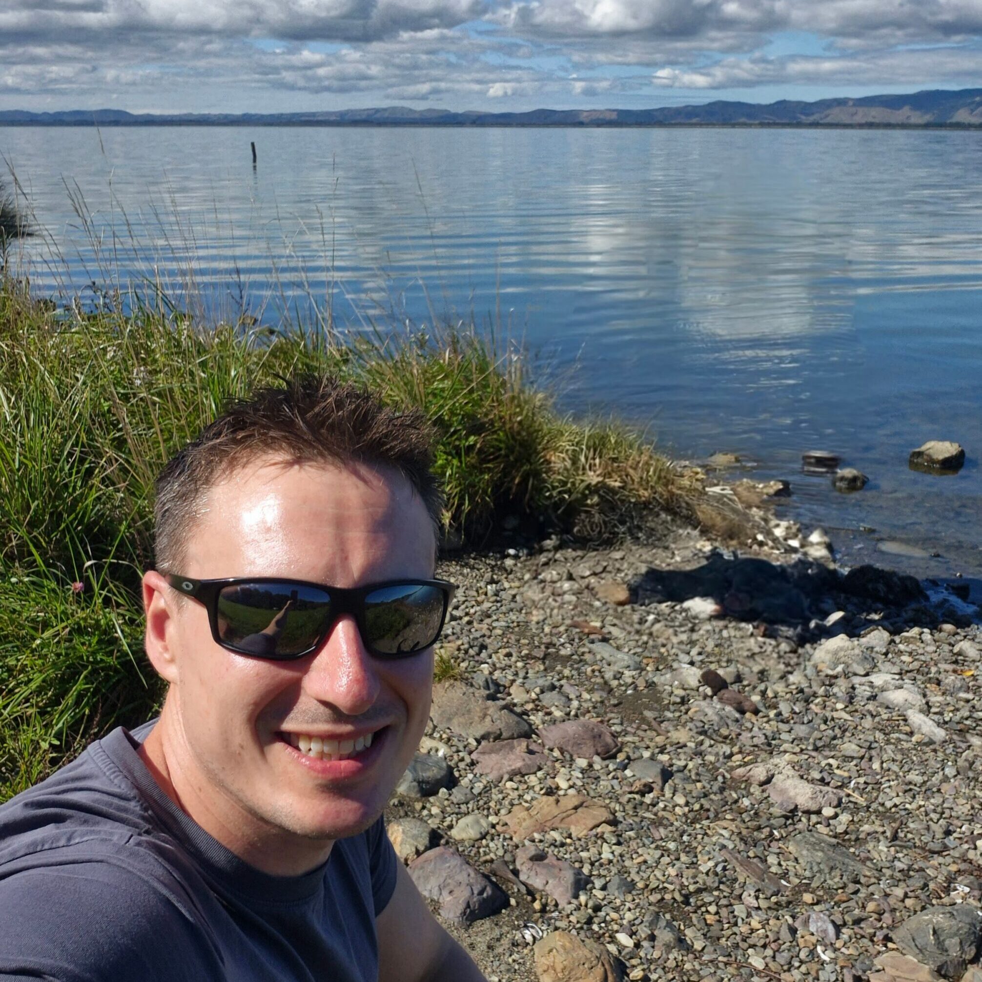
Ian Hamling
Ian Hamling is a geodetic scientist specialising in Satellite Radar Interferometry (InSAR) to measure and model surface deformation associated with tectonic and volcanic processes. After completing his PhD in 2010 at the University of Leeds, UK, and a two-year post-doctoral position at the International Centre for Theoretical Physics in Trieste, Italy, he moved to GNS Science in 2013. Since his arrival, he has worked on broad range of projects ranging from volcanic eruptions and earthquakes to landslides and the effect of vertical land movement on sea level rise. He was the recipient of the 2017 Royal Society of New Zealand Hamilton Prize, is PI for the New Zealand volcano supersite, co-lead of the South-East Asia volcano demonstrator program and co-leads a newly funded Endeavour programme: Landslide Watch Aotearoa.

Chris Massey
Chris is a committee member of JTC1, and an engineering geologist who has gathered over 25 years of consultancy and research experience from around the world. He specialises in the investigation and analysis of complex geological and geomechanical data for landslide and slope stability analyses, landslide monitoring, foundation design, underground/surface rock support and groundwater problems.
In his role as Principal Scientist, Surface Geosciences, Chris is responsible for managing GNS Science’s landslide research, strategy, outcomes and relationships with partners and collaborators in New Zealand and overseas. He is also project lead for a number of projects looking at New Zealand’s earthquake-induced landscape dynamics and landscape change, and the development of near-real time landslide forecast tools. Since the Canterbury earthquakes in 2010/11, Chris has had a pioneering role in landslide rock-slope modelling and quantitative landslide risk analysis methods and practices.
